


Bucktown and Wicker Park: A 606 Bloomingdale Trail Walking Tour

 About the Tour
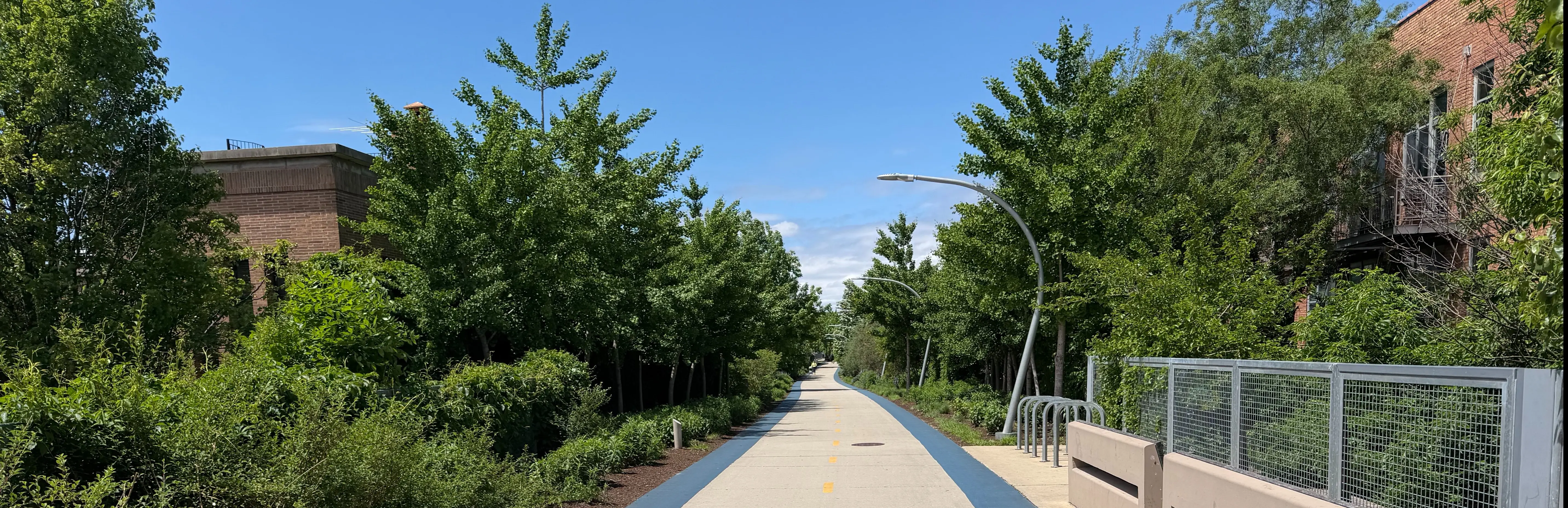
The Bloomingdale Trail was built on a former railway line that once served as the industrial backbone of Chicago's north side. On this walking tour through Bucktown and Wicker Park, you'll hear how the factories, immigrants, and artists who lined these tracks transformed two scrappy neighborhoods into some of the city's most sought-after real estate.
The tour starts at Walsh Park, the eastern terminus of The 606, named with a nod to Chicago's universal zip code prefix. As you head west along the elevated trail, you'll pass the converted factory buildings of the Felt & Tarrant Manufacturing Company, whose mechanical adding machines helped America win both World Wars, and look across to Saint Mary of the Angels Catholic Church, a St. Peter's Basilica lookalike that served as a lifeline for Polish immigrants arriving in the early 1900s. You'll also learn why Bucktown's boundaries kept mysteriously expanding through the 1950s and 70s.
Further along, you'll stop at the Damen Avenue Arts Plaza, where the Flat Iron Arts Building stands as a reminder of how artists were deliberately recruited to revive a struggling neighborhood. The tour ends at Western Avenue, the longest continuous city street in the world at 24.5 miles, where the trail continues west into Logan Square and Humboldt Park.
On this 30-minute tour, you'll have a chance to:
- Hear the story of the 1929 Saint Valentine's Day Massacre getaway car, discovered burning in a nearby garage
- Learn how the birthplace of Slam Poetry sits on Honoré Street
- Discover how the Churchill Cabinet Company went from crank telephones to Pac-Man machines
- Find out how Milwaukee Avenue's toll road was torched by an angry mob in 1881
- Spot the Stenson Brewing Company site, where a mobster fought Prohibition all the way to the Supreme Court
Lace up your walking shoes and let a long-time neighborhood resident show you what most trail users walk right past every day.
Tour Producer
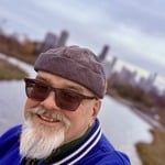
Gordon Meyer

Hi, I’m Gordon. Thanks for your interest in my tour.
I arrived in Chicago in 2005, and having always been drawn to lore, legends, and the unusual, I immediately began collecting stories about my neighborhood. I could sense there was a deep, complicated history beneath the surface, so I spent a couple of years poring over old newspaper archives and teasing out forgotten facts. On this tour, I’ll share the very best of what I uncovered.
You’ll also hear surprising and strange tales I learned directly from neighborhood old‑timers. These stories are unique to my tour—insider accounts that aren’t easy to discover unless you know who to ask.
And rest assured: I dug deep and verified the oral history I collected. Everything you’ll hear on this tour actually happened.
I’m a professional writer and performer, trained right here at Chicago’s Second City. You’ll enjoy our time together, and I promise you’re in good hands.
After our walk, please consider leaving a review here on VoiceMap, and feel free to drop by my website—BizarreBucktown.com—and say hello. You can also reach me anytime at [email protected].
Thanks again. Now, let’s start walking. I can’t wait to show you my neighborhood and introduce you to its mysteries, history, and ghosts.
Save with Passes
Preview Location
Location 9
Winchester Ave
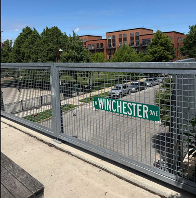
Named for a town that is near General Sheridan’s victory at Cedar Creek, VA.
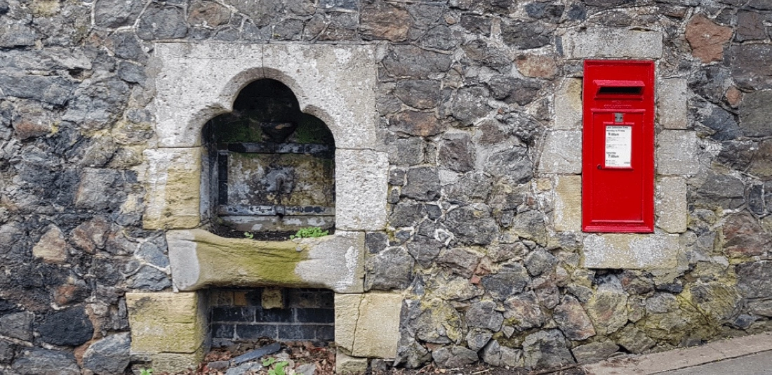
Churchill Field, on your right, is named for the former Churchill Cabinet Company, who donated this land to make a community park in 1954. Previously, in 1919,...
How VoiceMap Works


Major Landmarks
-
St Mary Of The Angels Catholic Church
-
Walsh (John) Park
-
Churchill Field Park
-
North Milwaukee Avenue
-
Bucktown
-
Wicker Park
-
North Western Avenue
-
Margie's Candies
-
Club Lucky
-
Lottie's Pub
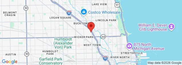
Getting There
Route Overview
-
Start location1722 N Ashland Ave, Chicago, IL 60622, USA
-
Total distance2km
-
Final locationChicago, IL 60647, USA
-
Distance back to start location2km
Directions to Starting Point
The tour begins at Walsh Park, which is the Eastern end of the Bloomingdale Trail park system, also referred to as The 606. We'll be walking West for just about a mile, ending at Western Avenue.
When you arrive at the park, look for the curving, uphill entrance to the elevated trail. Start the tour there, and I'll direct you the rest of the way.
Tips
Places to stop along the way
I'll recommend several of my favorite places that are within a few blocks of the trail. You'll be able to exit the trail about every two blocks.
Best time of day
Best experienced during daylight hours, but during commute times the trail can be busy with bicycles.
Precautions
Be mindful of faster-moving people on the trail, and stick to the right as much as possible. Especially if you stop to admire the scenery. There aren't any restrooms or water stations along the trail.
Get The App